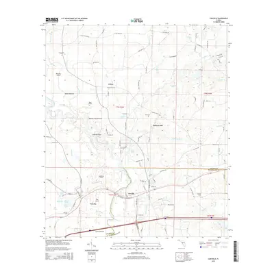
2015 Map of Caryville
USGS Topo · Published 2015About this map
The Choctawhatchee River defines the landscape of this Florida Panhandle region, winding through a complex system of sloughs and hammocks. Historically significant for its river-and-rail access, Caryville sits near the crossing of the river, while Westville lies just to the west. The area is marked by a legacy of rural industries, notably at Hathaway Mill and across numerous small settlements like Gritney and Hagans Hammock.
Find a feature on this map
130 named features on this map. Tap any name to fly to it.
Don’t see what you’re looking for? This feature index may not catch every label — zoom into the map to look around manually.
Map Details
Editions of this 2015 Caryville Map
This is the sole edition of this map. No revisions or reprints were ever made.
Other maps of this area

1948 · Ponce De Leon
USGS Topo · 1:24,000

1949 · Hinsons Cross Roads
USGS Topo · 1:24,000

1949 · Hobbs Crossroads
USGS Topo · 1:24,000

1949 · Caryville
USGS Topo · 1:24,000

1950 · Hobbs Cross Roads
USGS Topo · 1:24,000

1950 · Prosperity
USGS Topo · 1:24,000

1950 · Ponce De Leon
USGS Topo · 1:24,000

1950 · Hinsons Cross Roads
USGS Topo · 1:24,000

1950 · Caryville
USGS Topo · 1:24,000

1950 · Izagora
USGS Topo · 1:24,000