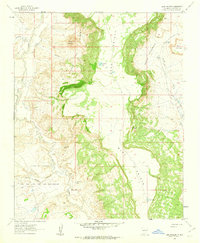
1961 Map of Casa Salazar
USGS Topo · Published 1963About this map
The settlement of Casa Salazar sits in the northwest corner of this high-desert landscape, positioned along the edge of the Rio Puerco. The terrain is dominated by the massive Mesa Prieta, which occupies the central and eastern portions of the quadrangle, flanked by dramatic eroded features like Rincon Entrañoso and Rincon De Cochino. This 1961 field-checked survey reveals a remote ranching environment where water is the primary organizing force, indicated by numerous man-made landmarks such as the Miguel Urrea Tank and Sam Hill Tank.
Find a feature on this map
23 named features on this map. Tap any name to fly to it.
Don’t see what you’re looking for? This feature index may not catch every label — zoom into the map to look around manually.
Map Details
Editions of this 1961 Casa Salazar Map
2 editions found
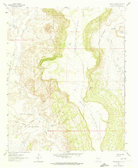
Other maps of this area

1883 · Mt. Taylor
USGS Topo · 1:250,000

1886 · Mt. Taylor
USGS Topo · 1:250,000

1888 · Bernalillo
USGS Topo · 1:125,000

1889 · Albuquerque
USGS Topo · 1:125,000

1890 · Jemes
USGS Topo · 1:125,000

1892 · Jemes
USGS Topo · 1:125,000

1892 · Mt. Taylor
USGS Topo · 1:250,000

1893 · Albuquerque
USGS Topo · 1:125,000

1899 · Mt. Taylor
USGS Topo · 1:250,000

1939 · San Ysidro
USGS Topo · 1:62,500