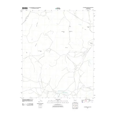
2010 Map of Casamero Lake
USGS Topo · Published 2010About this map
Borrego Pass Trading Post serves as a primary reference point in this high-desert landscape, where the Eastern Navajo Agency meets a complex network of canyons and plateaus. The topography is defined by prominent elevations such as Wheat Grass Butte and the sheer face of Cream Colored Rock. In a region where water is a vital commodity, the map tracks isolated sources including Blue Water Spring, Many Mexican Spring, and Owl Spring.
Find a feature on this map
28 named features on this map. Tap any name to fly to it.
Don’t see what you’re looking for? This feature index may not catch every label — zoom into the map to look around manually.
Map Details
Editions of this 2010 Casamero Lake Map
This is the sole edition of this map. No revisions or reprints were ever made.
Other maps of this area

1883 · Mt. Taylor
USGS Topo · 1:250,000

1886 · Wingate
USGS Topo · 1:250,000

1886 · Mt. Taylor
USGS Topo · 1:250,000

1892 · Wingate
USGS Topo · 1:250,000

1892 · Mt. Taylor
USGS Topo · 1:250,000

1899 · Mt. Taylor
USGS Topo · 1:250,000

1954 · Gallup
USGS Topo · 1:250,000

1957 · Goat Mountain
USGS Topo · 1:24,000

1958 · Gallup
USGS Topo · 1:250,000

1958 · Albuquerque
USGS Topo · 1:250,000
Featured Places
- Eastern Navajo Agency, NM
- Borrego Pass, NM
- Casamero Lake, Eastern Navajo Agency
- McKinley County, NM
- United States