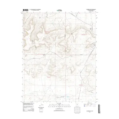
2013 Map of Casamero Lake
USGS Topo · Published 2013About this map
Borrego Pass Trading Post stands as a focal point for commerce and community in this high-desert region of McKinley County. The landscape is defined by its dramatic mesas and points, including White Water Mesa and Big Point, interspersed with vital water sources such as Little Water Spring and Many Mexican Spring. This 2013 survey illustrates a rural network where modern routes like NM-371 and Indian Service Route 48 connect scattered residents to larger tribal and state systems.
Find a feature on this map
33 named features on this map. Tap any name to fly to it.
Don’t see what you’re looking for? This feature index may not catch every label — zoom into the map to look around manually.
Map Details
Editions of this 2013 Casamero Lake Map
This is the sole edition of this map. No revisions or reprints were ever made.
Other maps of this area

1883 · Mt. Taylor
USGS Topo · 1:250,000

1886 · Wingate
USGS Topo · 1:250,000

1886 · Mt. Taylor
USGS Topo · 1:250,000

1892 · Wingate
USGS Topo · 1:250,000

1892 · Mt. Taylor
USGS Topo · 1:250,000

1899 · Mt. Taylor
USGS Topo · 1:250,000

1954 · Gallup
USGS Topo · 1:250,000

1957 · Goat Mountain
USGS Topo · 1:24,000

1958 · Gallup
USGS Topo · 1:250,000

1958 · Albuquerque
USGS Topo · 1:250,000
Featured Places
- Eastern Navajo Agency, NM
- Borrego Pass, NM
- Casamero Lake, Eastern Navajo Agency
- McKinley County, NM
- United States