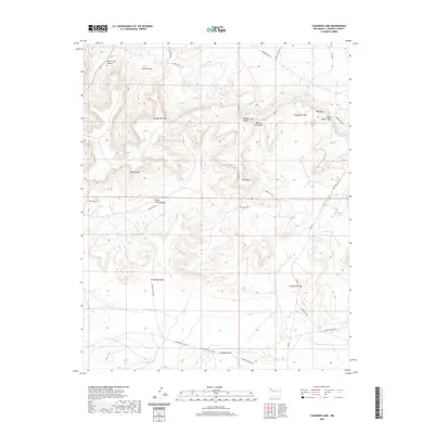
2020 Map of Casamero Lake
USGS Topo · Published 2020About this map
Casamero Lake and the winding Casamero Draw anchor this high-desert landscape in the Eastern Navajo Agency. The terrain is defined by a series of prominent geological landmarks, including Wheat Grass Butte, Red Butte, and the expansive White Water Mesa. These features are connected by a network of service routes and local roads, such as Borrego Pass Rd and Crow Mesa Rd, which navigate the mesas and canyons.
Find a feature on this map
33 named features on this map. Tap any name to fly to it.
Don’t see what you’re looking for? This feature index may not catch every label — zoom into the map to look around manually.
Map Details
Editions of this 2020 Casamero Lake Map
This is the sole edition of this map. No revisions or reprints were ever made.
Other maps of this area

1883 · Mt. Taylor
USGS Topo · 1:250,000

1886 · Wingate
USGS Topo · 1:250,000

1886 · Mt. Taylor
USGS Topo · 1:250,000

1892 · Wingate
USGS Topo · 1:250,000

1892 · Mt. Taylor
USGS Topo · 1:250,000

1899 · Mt. Taylor
USGS Topo · 1:250,000

1954 · Gallup
USGS Topo · 1:250,000

1957 · Goat Mountain
USGS Topo · 1:24,000

1958 · Gallup
USGS Topo · 1:250,000

1958 · Albuquerque
USGS Topo · 1:250,000
Featured Places
- Eastern Navajo Agency, NM
- Borrego Pass, NM
- Casamero Lake, Eastern Navajo Agency
- McKinley County, NM
- United States