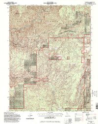
1994 Map of Cascade
USGS Topo · Published 1998About this map
Plumas National Forest lands dominate this high-country landscape along the border of Butte and Plumas Counties. The rugged geography is defined by the Middle Fork Feather River, which is designated here as the Feather Wild and Scenic River. This survey captures a mix of remote administrative and residential outposts including the Pinery Creek Work Center and family-named landmarks like Jackson Ranch and Bills Cabin (Site).
Find a feature on this map
43 named features on this map. Tap any name to fly to it.
Don’t see what you’re looking for? This feature index may not catch every label — zoom into the map to look around manually.
Map Details
Editions of this 1994 Cascade Map
2 editions found
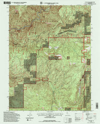
Other maps of this area

1888 · Bidwell Bar
USGS Topo · 1:125,000

1891 · Bidwell Bar
USGS Topo · 1:125,000

1893 · Bidwell Bar
USGS Topo · 1:125,000

1895 · Bidwell Bar
USGS Topo · 1:125,000

1897 · Bidwell Bar
USGS Topo · 1:125,000
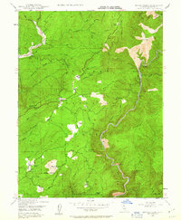
1947 · Brush Creek
USGS Topo · 1:24,000

1948 · Big Bend Mtn
USGS Topo · 1:62,500
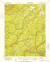
1948 · Mooreville Ridge
USGS Topo · 1:62,500
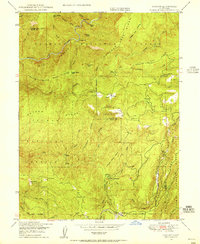
1948 · Cascade
USGS Topo · 1:24,000
1948 · American House
USGS Topo · 1:24,000