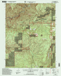
1994 Map of Cascade
USGS Topo · Published 1998About this map
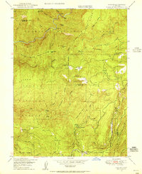
The Middle Fork Feather River and the South Branch Feather Falls Scenic Area dominate this section of the Plumas National Forest on the border of Plumas and Butte counties. The landscape is a complex network of high ridges like Hartman Bar Ridge and Lump Kin Ridge, interspersed with deeply cut watercourses such as Lava Top Creek and Kenebeck Creek.
Find a feature on this map
51 named features on this map. Tap any name to fly to it.
Don’t see what you’re looking for? This feature index may not catch every label — zoom into the map to look around manually.
Map Details
Editions of this 1994 Cascade Map
2 editions found
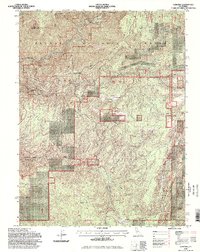
Other maps of this area

1888 · Bidwell Bar
USGS Topo · 1:125,000

1891 · Bidwell Bar
USGS Topo · 1:125,000

1893 · Bidwell Bar
USGS Topo · 1:125,000

1895 · Bidwell Bar
USGS Topo · 1:125,000

1897 · Bidwell Bar
USGS Topo · 1:125,000
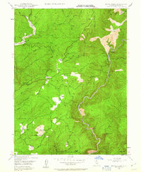
1947 · Brush Creek
USGS Topo · 1:24,000

1948 · Big Bend Mtn
USGS Topo · 1:62,500
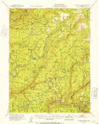
1948 · Mooreville Ridge
USGS Topo · 1:62,500
1948 · Cascade
USGS Topo · 1:24,000
1948 · American House
USGS Topo · 1:24,000