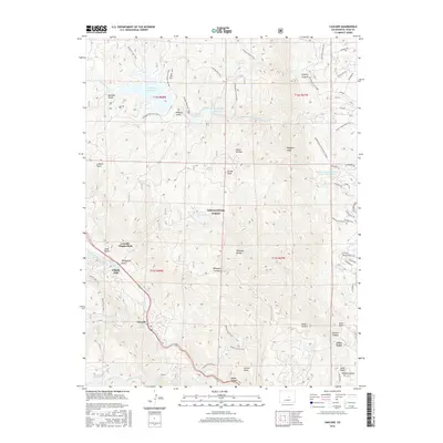
2016 Map of Cascade
USGS Topo · Published 2016About this map
Pike National Forest dominates this landscape along the eastern edge of the Rampart Range, where the steep foothills meet the western fringes of the Colorado Springs area. The map documents the mountain communities of Cascade-Chipita Park, Chipita Park, and Cascade nestled along the winding path of Fountain Creek. These settlements are tied to the drainage systems and trails that define the region's topography, including Waldo Canyon and Williams Canyon.
Find a feature on this map
75 named features on this map. Tap any name to fly to it.
Don’t see what you’re looking for? This feature index may not catch every label — zoom into the map to look around manually.
Map Details
Editions of this 2016 Cascade Map
This is the sole edition of this map. No revisions or reprints were ever made.
Other maps of this area

1893 · Platte Canyon
USGS Topo · 1:125,000

1893 · Colorado Springs
USGS Topo · 1:125,000

1894 · Pikes Peak
USGS Topo · 1:125,000

1894 · Castle Rock
USGS Topo · 1:125,000

1901 · Pikes Peak
USGS Topo · 1:125,000

1901 · Pikes Peak
USGS Topo · 1:62,500

1909 · Colorado Springs
USGS Topo · 1:125,000

1913 · Castle Rock
USGS Topo · 1:125,000

1942 · Colorado Springs
USGS Topo · 1:125,000

1948 · Manitou Springs
USGS Topo · 1:24,000