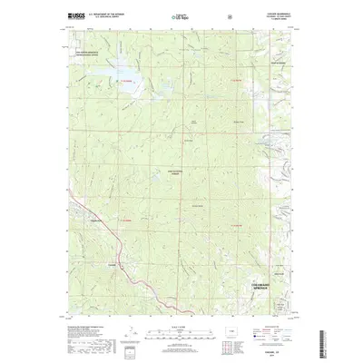
2019 Map of Cascade
USGS Topo · Published 2019About this map
Pike National Forest dominates this section of the Rampart Range, where steep canyons and high reservoirs define the geography west of Colorado Springs. The map documents the western edge of the USAF Academy, showing the complex network of trails and roads such as the Falcon Trail and Douglass Loop that wind through the foothills. Further south, the unique rock formations of Glen Eyrie are visible, including landmarks like Kissing Camels and Gate Rock near the mouth of Queens Canyon.
Find a feature on this map
90 named features on this map. Tap any name to fly to it.
Don’t see what you’re looking for? This feature index may not catch every label — zoom into the map to look around manually.
Map Details
Editions of this 2019 Cascade Map
This is the sole edition of this map. No revisions or reprints were ever made.
Other maps of this area

1893 · Platte Canyon
USGS Topo · 1:125,000

1893 · Colorado Springs
USGS Topo · 1:125,000

1894 · Pikes Peak
USGS Topo · 1:125,000

1894 · Castle Rock
USGS Topo · 1:125,000

1901 · Pikes Peak
USGS Topo · 1:125,000

1901 · Pikes Peak
USGS Topo · 1:62,500

1909 · Colorado Springs
USGS Topo · 1:125,000

1913 · Castle Rock
USGS Topo · 1:125,000

1942 · Colorado Springs
USGS Topo · 1:125,000

1948 · Manitou Springs
USGS Topo · 1:24,000