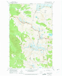
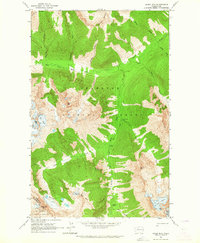
1963 Map of Cascade Pass
USGS Topo · Published 1975About this map
Diamond Mine and Midas sit high on the slopes above Morning Star Creek, evidence of the prospecting history in this alpine section of the North Cascades. This 1963 field survey documents a landscape of immense ice and rock, where the Quien Sabe Glacier and Boston Glacier dominate the high ridges near Boston Peak. The map captures the boundary between North Cascades National Park and the Glacier Peak Wilderness, tracing the divide between Skagit and Chelan counties along the crest of Sahale Arm and Ripsaw Ridge. Below the peaks, alpine basins such as Horseshoe Basin and Boston Basin feed the headwaters of the North Fork Cascade River and the Stehekin River. Notable high-altitude water bodies like Doubtful Lake and Trapper Lake are shown nestled among the summits of Sahale Mtn and Magic Mtn.
Find a feature on this map
57 named features on this map. Tap any name to fly to it.
Don’t see what you’re looking for? This feature index may not catch every label — zoom into the map to look around manually.
Map Details
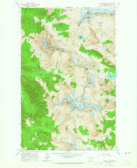
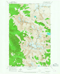
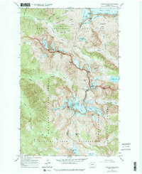
Editions of this 1963 Cascade Pass Map
4 editions found
Other maps of this area

1899 · Glacier Peak
USGS Topo · 1:125,000

1901 · Glacier Peak
USGS Topo · 1:125,000

1902 · Stehekin
USGS Topo · 1:125,000

1904 · Stehekin
USGS Topo · 1:125,000

1920 · Slate Pass
USGS Topo · 1:125,000

1955 · Concrete
USGS Topo · 1:250,000

1958 · Concrete
USGS Topo · 1:250,000

1962 · Concrete
USGS Topo · 1:250,000
1963 · Agnes Mtn
USGS Topo · 1:24,000

1963 · Sonny Boy Lakes
USGS Topo · 1:24,000