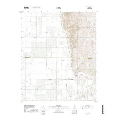
2018 Map of Cascilla
USGS Topo · Published 2018About this map
The Yalobusha River basin defines the southern reaches of this landscape, where the flatlands of the Delta meet the rising hills of north-central Mississippi. Along the boundary between Tallahatchie and Grenada Counties, the terrain transitions from a dense network of wetlands and oxbow lakes like Bear Lake, White Lake, and Wolf Lake to the more structured elevations near Cascilla. This 2018 survey reveals the persistent agricultural and ecological patterns of the region, where roads like Sycamore Flat Rd and Grain Bin Rd follow the contours of the land.
Find a feature on this map
57 named features on this map. Tap any name to fly to it.
Don’t see what you’re looking for? This feature index may not catch every label — zoom into the map to look around manually.
Map Details
Editions of this 2018 Cascilla Map
This is the sole edition of this map. No revisions or reprints were ever made.
Other maps of this area

1932 · Philipp
USGS Topo · 1:48,000

1935 · Philipp
USGS Topo · 1:62,500

1936 · Greenwood
USGS Topo · 1:62,500

1939 · Philipp
USGS Topo · 1:62,500

1940 · Greenwood
USGS Topo · 1:62,500

1953 · Greenwood
USGS Topo · 1:250,000

1953 · West Point
USGS Topo · 1:250,000

1954 · Grenada
USGS Topo · 1:62,500

1954 · McCarley
USGS Topo · 1:62,500

1956 · Greenwood
USGS Topo · 1:250,000