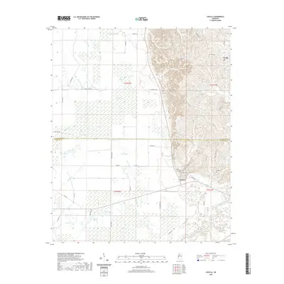
2020 Map of Cascilla
USGS Topo · Published 2020About this map
The Yalobusha River basin and the borderlands between Tallahatchie and Grenada Counties define this corner of the Mississippi Delta landscape. The settlement of Cascilla sits at the base of the eastern bluffs, where the terrain shifts abruptly from the flat, water-checkered alluvial plain into the higher, dissected hill country. This geographic transition is marked by a concentration of small rural cemeteries, including Stonefield Cem, Bethel Cem, and Oxberry Cem, which suggest long-standing family and community ties in the Oxberry area. The western half of the map is dominated by an intricate network of wetlands and oxbow remnants, such as White Lake, Elliot Lake, and Wolf Lake. These features, along with Maxey Bayou and Vaney Bayou, illustrate the complex drainage patterns of the Delta before reaching the river, highlighting a landscape historically shaped by seasonal flooding and agricultural drainage.
Find a feature on this map
60 named features on this map. Tap any name to fly to it.
Don’t see what you’re looking for? This feature index may not catch every label — zoom into the map to look around manually.
Map Details
Editions of this 2020 Cascilla Map
This is the sole edition of this map. No revisions or reprints were ever made.
Other maps of this area

1932 · Philipp
USGS Topo · 1:48,000

1935 · Philipp
USGS Topo · 1:62,500

1936 · Greenwood
USGS Topo · 1:62,500

1939 · Philipp
USGS Topo · 1:62,500

1940 · Greenwood
USGS Topo · 1:62,500

1953 · Greenwood
USGS Topo · 1:250,000

1953 · West Point
USGS Topo · 1:250,000

1954 · Grenada
USGS Topo · 1:62,500

1954 · McCarley
USGS Topo · 1:62,500

1956 · Greenwood
USGS Topo · 1:250,000