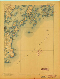
1893 Map of Casco Bay
USGS Topo · Published 1904About this map
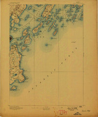
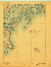
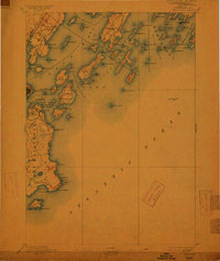
Maritime defenses and navigation aids define the coastline of Casco Bay in this late nineteenth-century survey. The approach to Portland harbor is heavily protected by military installations including Fort Gorges, Fort Preble, and Fort Scammel, while a network of vital beacons including the historic Portland Head Light and the dual Cape Elizabeth Lights guide vessels toward the commercial docks. Along the northern shoreline, the Grand Trunk RR. runs through Falmouth, connecting the region's shipping interests to inland rail networks.
Find a feature on this map
115 named features on this map. Tap any name to fly to it.
Don’t see what you’re looking for? This feature index may not catch every label — zoom into the map to look around manually.
Map Details
Editions of this 1893 Casco Bay Map
5 editions found
Other maps of this area

1891 · Portland
USGS Topo · 1:62,500

1891 · Biddeford
USGS Topo · 1:62,500

1892 · Freeport
USGS Topo · 1:62,500

1893 · Biddeford
USGS Topo · 1:62,500

1893 · Small Point
USGS Topo · 1:62,500

1893 · Portland
USGS Topo · 1:62,500

1893 · Casco Bay
USGS Topo · 1:62,500

1894 · Gray
USGS Topo · 1:62,500

1894 · Bath
USGS Topo · 1:62,500

1898 · Gray
USGS Topo · 1:62,500