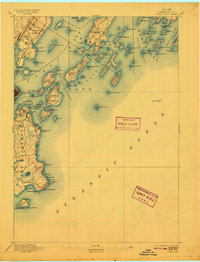
1893 Map of Casco Bay
USGS Topo · Published 1909About this map
Portland stands at the heart of this maritime survey, illustrating the vital coastal infrastructure of Maine's largest harbor at the close of the 19th century. The coastal landscape is defined by a dense network of navigation aids and military installations, including the iconic Portland Head Light and the dual Cape Elizabeth Lights. Defensive positions like Fort Preble, Fort Scammel, and Fort Gorges guard the approaches to Portland, reflecting the strategic importance of this harbor. To the north and east, the islands of Casco Bay, such as Chebeag Id. and Haskell Id., are mapped in fine detail alongside the Grand Trunk Ry. corridor. The transition from the urban waterfront of South Portland to the rural shores of Bowery Beach captures the era's balance between industrial shipping and coastal settlement before modern development altered the shoreline.
Find a feature on this map
110 named features on this map. Tap any name to fly to it.
Don’t see what you’re looking for? This feature index may not catch every label — zoom into the map to look around manually.
Map Details
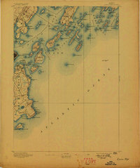
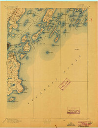
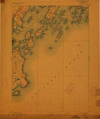
Editions of this 1893 Casco Bay Map
5 editions found
Other maps of this area

1891 · Portland
USGS Topo · 1:62,500

1891 · Biddeford
USGS Topo · 1:62,500

1892 · Freeport
USGS Topo · 1:62,500

1893 · Biddeford
USGS Topo · 1:62,500

1893 · Small Point
USGS Topo · 1:62,500

1893 · Portland
USGS Topo · 1:62,500

1893 · Casco Bay
USGS Topo · 1:62,500

1894 · Gray
USGS Topo · 1:62,500

1894 · Bath
USGS Topo · 1:62,500

1898 · Gray
USGS Topo · 1:62,500