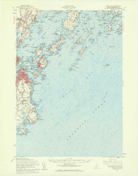
1957 Map of Casco Bay
USGS Topo · Published 1960About this map
Coastal defenses and maritime infrastructure define this mid-century survey of the Maine shoreline. Significant military installations including Fort Williams Military Res, Fort McKinley Naval Res, and several harbor batteries like Fort Gorges and Fort Scammel dominate the islands and headlands protecting Portland Harbor. The map captures a high degree of institutional detail, from the Maine School for the Deaf on Mackworth Island to the Maine Vocational Technical Institute in South Portland.
Find a feature on this map
92 named features on this map. Tap any name to fly to it.
Don’t see what you’re looking for? This feature index may not catch every label — zoom into the map to look around manually.
Map Details
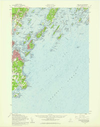
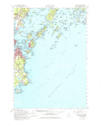
Editions of this 1957 Casco Bay Map
3 editions found
Other maps of this area

1891 · Portland
USGS Topo · 1:62,500

1891 · Biddeford
USGS Topo · 1:62,500

1892 · Freeport
USGS Topo · 1:62,500

1893 · Biddeford
USGS Topo · 1:62,500

1893 · Small Point
USGS Topo · 1:62,500

1893 · Portland
USGS Topo · 1:62,500

1893 · Casco Bay
USGS Topo · 1:62,500

1894 · Gray
USGS Topo · 1:62,500

1894 · Bath
USGS Topo · 1:62,500

1898 · Gray
USGS Topo · 1:62,500