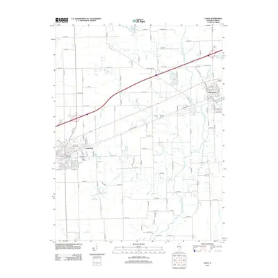
2012 Map of Casey
USGS Topo · Published 2012About this map
Casey and Martinsville serve as the primary hubs in this Illinois landscape, connected by a network of rural roads and the N Fork Embarras River. The map highlights a significant number of burial sites, including the Washington Cem and Lincoln Cem, suggesting a well-established history of settlement in Clark County. Small drainage ways like Turkey Run and Quarry Br carve through the agricultural blocks, while the settlement of Cumberland sits just east of the larger Casey town center.
Find a feature on this map
110 named features on this map. Tap any name to fly to it.
Don’t see what you’re looking for? This feature index may not catch every label — zoom into the map to look around manually.
Map Details
Editions of this 2012 Casey Map
This is the sole edition of this map. No revisions or reprints were ever made.
Other maps of this area

1933 · Toledo
USGS Topo · 1:62,500

1936 · Casey
USGS Topo · 1:48,000

1938 · Toledo
USGS Topo · 1:62,500

1940 · Greenup
USGS Topo · 1:62,500

1942 · Casey
USGS Topo · 1:62,500

1943 · Greenup
USGS Topo · 1:62,500

1943 · Casey
USGS Topo · 1:62,500

1953 · Indianapolis
USGS Topo · 1:250,000

1956 · Indianapolis
USGS Topo · 1:250,000

1956 · Annapolis
USGS Topo · 1:62,500