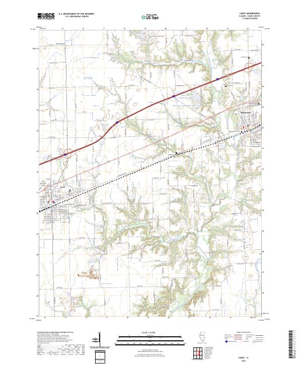
2024 Map of Casey
USGS Topo · Published 2024About this map
Casey and Martinsville anchor this Clark County landscape, where the agricultural grid is interrupted by the meandering course of the North Fork Embarras River. The terrain is defined by numerous drainage systems including Quarry Branch, Turkey Run, and Kettering Branch, which carve through the till plain. For those researching local heritage, the map identifies several significant burial sites, from the centrally located Washington Street Cem and Casey Cumberland Cem to the more outlying Blackburn Cem and Lincoln Cem.
Find a feature on this map
109 named features on this map. Tap any name to fly to it.
Don’t see what you’re looking for? This feature index may not catch every label — zoom into the map to look around manually.
Map Details
Editions of this 2024 Casey Map
This is the sole edition of this map. No revisions or reprints were ever made.
Other maps of this area

1933 · Toledo
USGS Topo · 1:62,500

1936 · Casey
USGS Topo · 1:48,000

1938 · Toledo
USGS Topo · 1:62,500

1940 · Greenup
USGS Topo · 1:62,500

1942 · Casey
USGS Topo · 1:62,500

1943 · Greenup
USGS Topo · 1:62,500

1943 · Casey
USGS Topo · 1:62,500

1953 · Indianapolis
USGS Topo · 1:250,000

1956 · Indianapolis
USGS Topo · 1:250,000

1956 · Annapolis
USGS Topo · 1:62,500