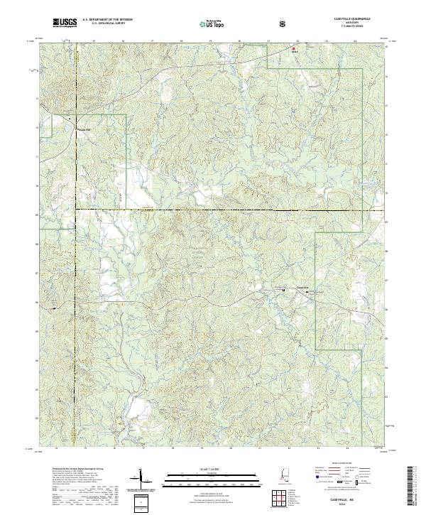
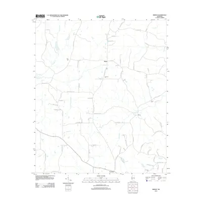
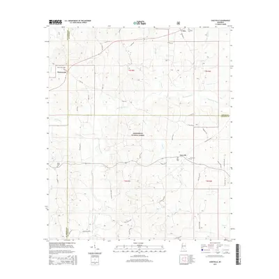
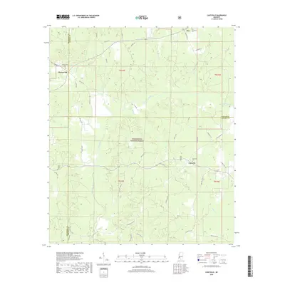
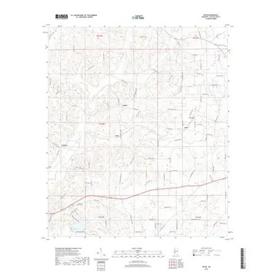
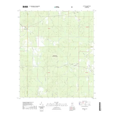
2024 Map of Caseyville
USGS Topo · Published 2024About this map
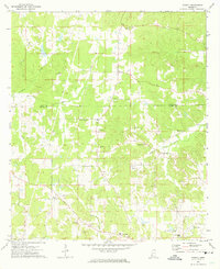
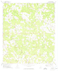
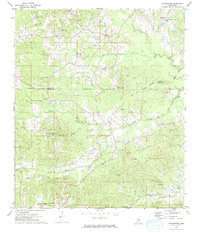
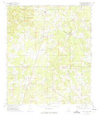
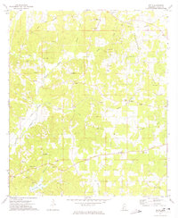
The Homochitto River meanders through this portion of Southwest Mississippi, carving a drainage basin that includes Hurricane Creek, Slayton Creek, and Bobs Branch. Much of the central and southern terrain is occupied by the Homochitto National Forest, a landscape defined by its network of forest service roads and timber management zones. Small rural settlements are scattered across the higher ground, including Caseyville and Pleasant Hill, which serve as local nodes for the surrounding agricultural and forestry communities.
Find a feature on this map
55 named features on this map. Tap any name to fly to it.
Don’t see what you’re looking for? This feature index may not catch every label — zoom into the map to look around manually.
Map Details
Editions of this 2024 Caseyville Map
This is the sole edition of this map. No revisions or reprints were ever made.
Historical Maps of Caseyville Through Time
48 maps found
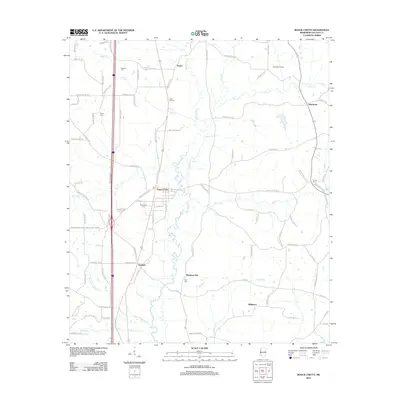
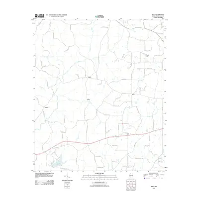
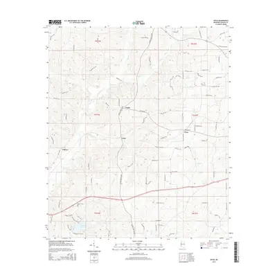
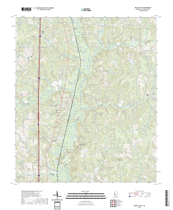
1972 Bogue Chitto
Lincoln County, MS
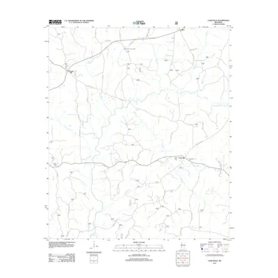
1972 Caseyville
Lincoln County, MS
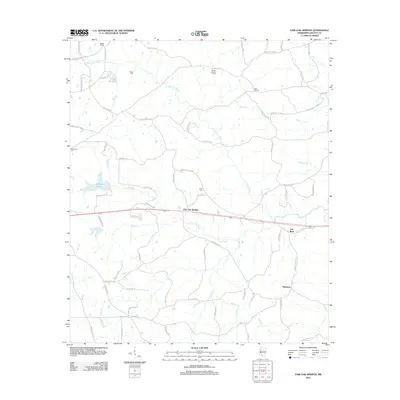
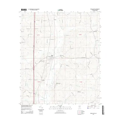
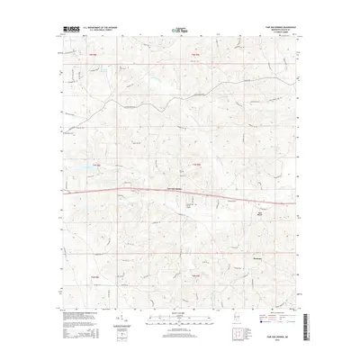
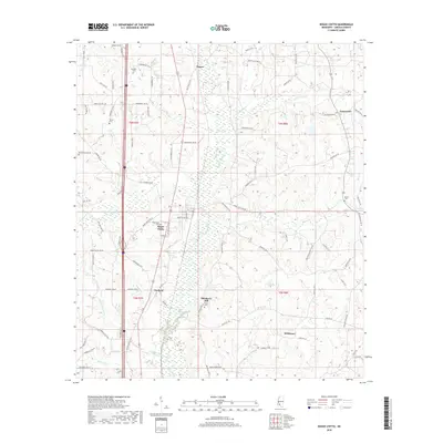
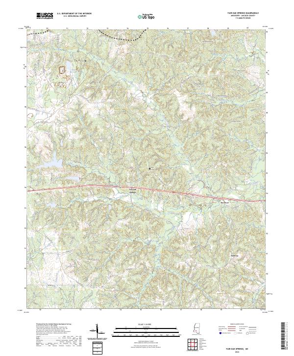
1972 Fair Oak Springs
Lincoln County, MS
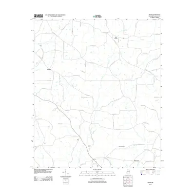
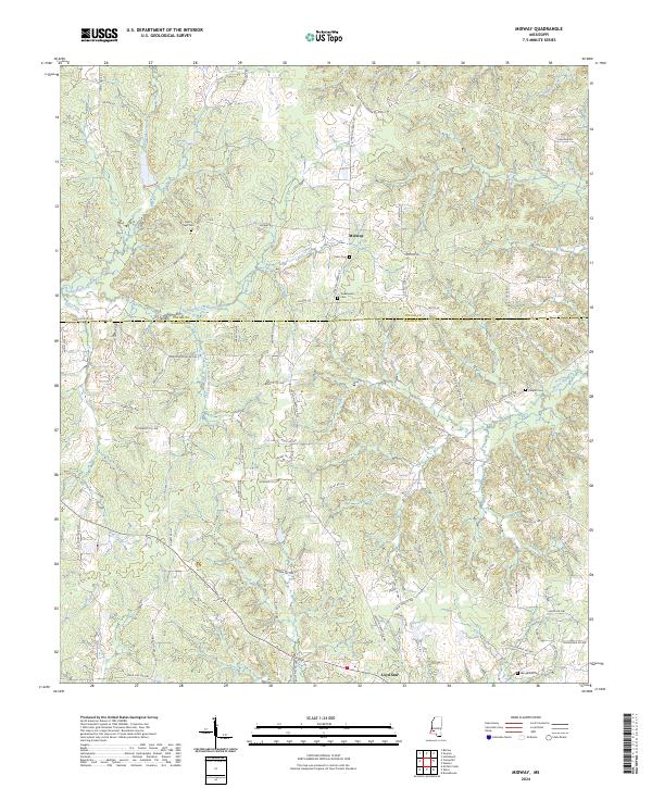
1972 Midway
Lincoln County, MS
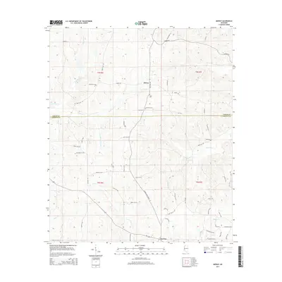
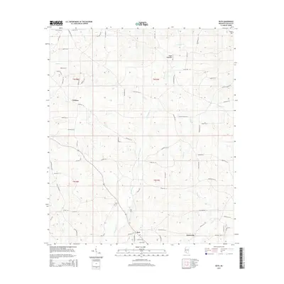
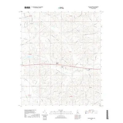
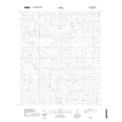
1972 Ruth
Lincoln County, MS
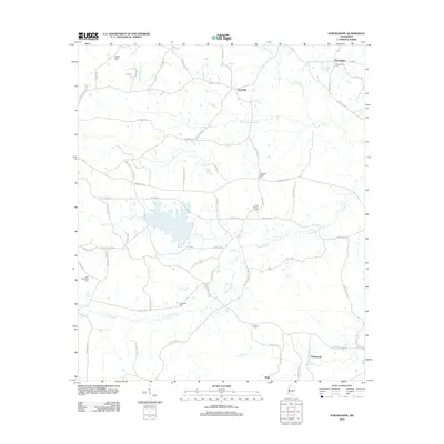
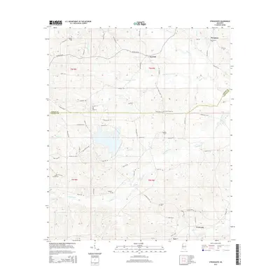
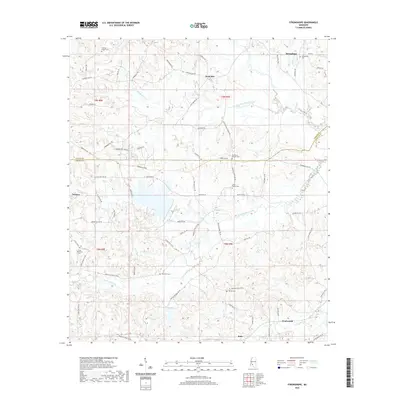
1972 Stronghope
Lincoln County, MS
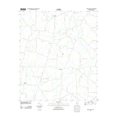
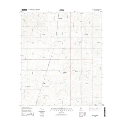
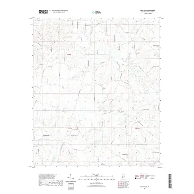
1972 West Lincoln
Lincoln County, MS
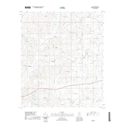
1972 Zetus
Lincoln County, MS
2012 Bogue Chitto
Lincoln County, MS
2012 Caseyville
Lincoln County, MS
2012 Fair Oak Springs
Lincoln County, MS
2012 Midway
Lincoln County, MS
2012 Ruth
Lincoln County, MS
2012 Stronghope
Lincoln County, MS
2012 West Lincoln
Lincoln County, MS
2012 Zetus
Lincoln County, MS
2015 Bogue Chitto
Lincoln County, MS
2015 Caseyville
Lincoln County, MS
2015 Fair Oak Springs
Lincoln County, MS
2015 Midway
Lincoln County, MS
2015 Ruth
Lincoln County, MS
2015 Stronghope
Lincoln County, MS
2015 West Lincoln
Lincoln County, MS
2015 Zetus
Lincoln County, MS
2018 Bogue Chitto
Lincoln County, MS
2018 Caseyville
Lincoln County, MS
2018 Fair Oak Springs
Lincoln County, MS
2018 Midway
Lincoln County, MS
2018 Ruth
Lincoln County, MS
2018 Stronghope
Lincoln County, MS
2018 West Lincoln
Lincoln County, MS
2018 Zetus
Lincoln County, MS
2020 Bogue Chitto
Lincoln County, MS
2020 Fair Oak Springs
Lincoln County, MS
2020 Midway
Lincoln County, MS
2020 Ruth
Lincoln County, MS
2020 Stronghope
Lincoln County, MS
2020 West Lincoln
Lincoln County, MS
2020 Zetus
Lincoln County, MS
2021 Caseyville
Lincoln County, MS
2024 Bogue Chitto
Lincoln County, MS
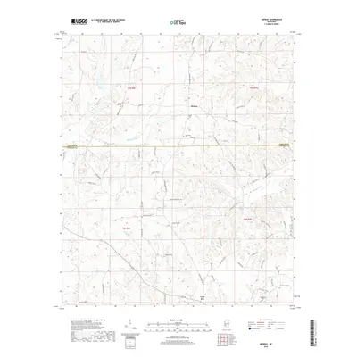
2024 Caseyville
Lincoln County, MS
2024 Fair Oak Springs
Lincoln County, MS
2024 Midway
Lincoln County, MS
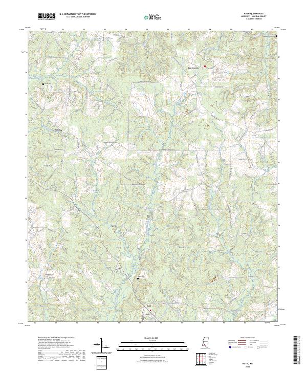
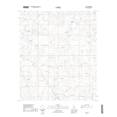
2024 Ruth
Lincoln County, MS
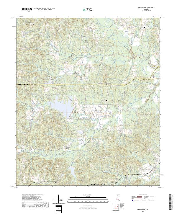
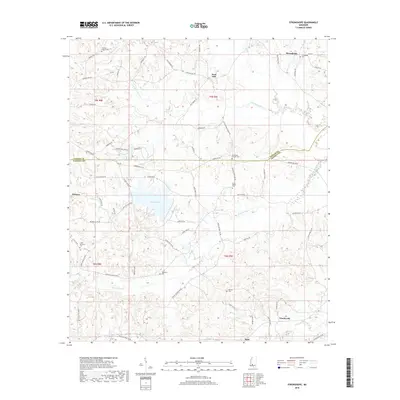
2024 Stronghope
Lincoln County, MS
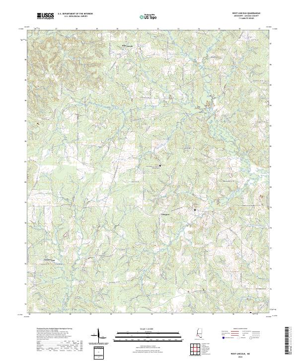
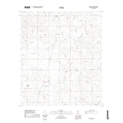
2024 West Lincoln
Lincoln County, MS
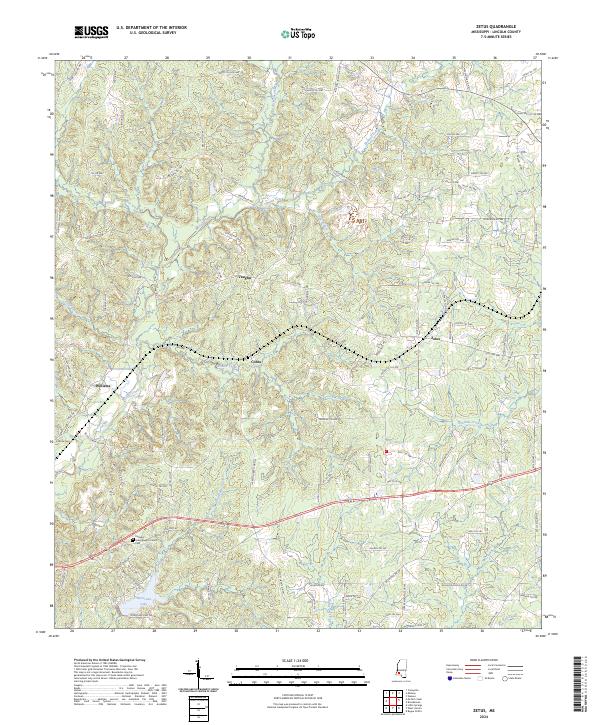
2024 Zetus
Lincoln County, MS