
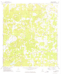
1972 Map of McCall Creek
USGS Topo · Published 1974About this map
Homochitto National Forest dominates this section of Southwest Mississippi, where the rugged terrain is dissected by the Homochitto River and its numerous tributaries. A significant historical marker, the Old Indian Treaty Boundary, cuts diagonally across the northern townships, reflecting the early 19th-century land divisions that shaped Franklin and Lincoln counties. The settlement pattern is defined by the Gulf Central Illinois railroad line, which connects the communities of McCall Creek, Lucien, and Quentin in the southern half of the map.
Find a feature on this map
37 named features on this map. Tap any name to fly to it.
Don’t see what you’re looking for? This feature index may not catch every label — zoom into the map to look around manually.
Map Details
Editions of this 1972 McCall Creek Map
This is the sole edition of this map. No revisions or reprints were ever made.
Other maps of this area

1953 · Natchez
USGS Topo · 1:250,000

1956 · Natchez
USGS Topo · 1:250,000

1959 · Natchez
USGS Topo · 1:250,000

1962 · Bude
USGS Topo · 1:62,500

1963 · Union Church
USGS Topo · 1:62,500

1972 · West Lincoln
USGS Topo · 1:24,000

1972 · Midway
USGS Topo · 1:24,000

1972 · Little Springs
USGS Topo · 1:24,000

1972 · Caseyville
USGS Topo · 1:24,000
1972 · Zetus
USGS Topo · 1:24,000