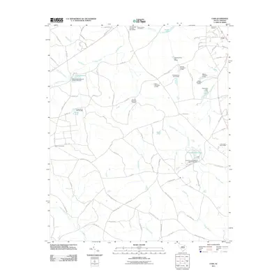
2011 Map of Cash
USGS Topo · Published 2011About this map
The small settlement of Cash sits in the northeast corner of this landscape, an area defined by a complex network of managed waterways and family-named agricultural lands. Water management is a primary feature of the local geography, visible in the numerous small reservoirs and containment structures such as Hendricks Pond Dam, Willis Pond Dam, and Griggs Pond Dam. This reliance on small-scale impoundments suggests a history of localized irrigation or livestock management across the many named farm roads like Jerry Sellers Farm Road.
Find a feature on this map
88 named features on this map. Tap any name to fly to it.
Don’t see what you’re looking for? This feature index may not catch every label — zoom into the map to look around manually.
Map Details
Editions of this 2011 Cash Map
This is the sole edition of this map. No revisions or reprints were ever made.
Other maps of this area

1941 · Spartanburg
USGS Topo · 1:250,000

1942 · Rockingham
USGS Topo · 1:125,000

1953 · Florence
USGS Topo · 1:250,000

1953 · Spartanburg
USGS Topo · 1:250,000

1954 · Florence
USGS Topo · 1:250,000

1960 · Spartanburg
USGS Topo · 1:250,000

1963 · Spartanburg
USGS Topo · 1:250,000

1963 · Dovesville
USGS Topo · 1:24,000

1963 · Mont Clare
USGS Topo · 1:24,000

1964 · Spartanburg
USGS Topo · 1:250,000