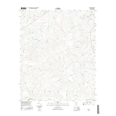
2017 Map of Cash
USGS Topo · Published 2017About this map
Cash serves as the primary settlement hub in this part of Chesterfield Co, situated near the northeastern corner of the map. The landscape is defined by a dense network of water bodies and slow-moving streams, including the winding Juniper Cr and Little Cedar Cr. Significant man-made or named ponds like Eureka Lake, Campbell Lake, and Lake Susan are scattered throughout, suggesting a history of water management or private recreation. Local genealogy is anchored by the Piney Grove Cem, while the road network reveals many family-named routes such as Teals Mill Rd, Hudley Loop, and Society Hill Rd. The map also highlights large recreational and organizational landmarks like Camp Coker Pond, which point to the long-standing use of this terrain for outdoor camps and community gathering spaces in rural South Carolina.
Find a feature on this map
74 named features on this map. Tap any name to fly to it.
Don’t see what you’re looking for? This feature index may not catch every label — zoom into the map to look around manually.
Map Details
Editions of this 2017 Cash Map
This is the sole edition of this map. No revisions or reprints were ever made.
Other maps of this area

1941 · Spartanburg
USGS Topo · 1:250,000

1942 · Rockingham
USGS Topo · 1:125,000

1953 · Florence
USGS Topo · 1:250,000

1953 · Spartanburg
USGS Topo · 1:250,000

1954 · Florence
USGS Topo · 1:250,000

1960 · Spartanburg
USGS Topo · 1:250,000

1963 · Spartanburg
USGS Topo · 1:250,000

1963 · Dovesville
USGS Topo · 1:24,000

1963 · Mont Clare
USGS Topo · 1:24,000

1964 · Spartanburg
USGS Topo · 1:250,000