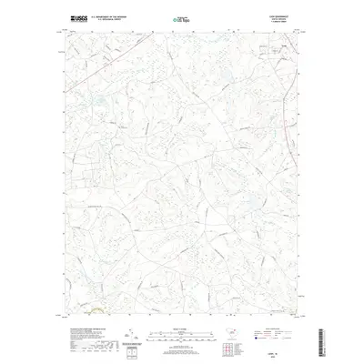
2020 Map of Cash
USGS Topo · Published 2020About this map
Cash serves as the primary settlement within this rural landscape of northern South Carolina, situated where several local roads converge near the northeastern corner of the map. The terrain is defined by an intricate network of waterways draining toward the Pee Dee River basin, including the meandering Juniper Cr and Spot Mill Cr. Numerous small impoundments and natural basins dot the area, such as Eureka Lake, Campbell Lake, and Goose Pond, reflecting the region's wetland-rich topography and historically agriculture-focused land use.
Find a feature on this map
74 named features on this map. Tap any name to fly to it.
Don’t see what you’re looking for? This feature index may not catch every label — zoom into the map to look around manually.
Map Details
Editions of this 2020 Cash Map
This is the sole edition of this map. No revisions or reprints were ever made.
Other maps of this area

1941 · Spartanburg
USGS Topo · 1:250,000

1942 · Rockingham
USGS Topo · 1:125,000

1953 · Florence
USGS Topo · 1:250,000

1953 · Spartanburg
USGS Topo · 1:250,000

1954 · Florence
USGS Topo · 1:250,000

1960 · Spartanburg
USGS Topo · 1:250,000

1963 · Spartanburg
USGS Topo · 1:250,000

1963 · Dovesville
USGS Topo · 1:24,000

1963 · Mont Clare
USGS Topo · 1:24,000

1964 · Spartanburg
USGS Topo · 1:250,000