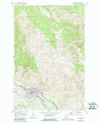
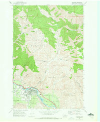
1968 Map of Cashmere
USGS Topo · Published 1987About this map
Cashmere centers this landscape as a hub of industry and transport along the southern bank of the Wenatchee River in the late 1960s. The town's layout reflects a dense grid of residential streets like Dorn Street and Tigner Road, flanked by the Burlington Northern railroad and the Sunset Highway. This region is defined by its complex water management systems, including the High Line Canal, Icicle Canal, and a siphon, essential for the orchard-heavy valleys surrounding the town.
Find a feature on this map
44 named features on this map. Tap any name to fly to it.
Don’t see what you’re looking for? This feature index may not catch every label — zoom into the map to look around manually.
Map Details
Editions of this 1968 Cashmere Map
2 editions found
Other maps of this area

1897 · Mount Stuart
USGS Topo · 1:125,000

1901 · Chelan
USGS Topo · 1:125,000

1901 · Chiwaukum
USGS Topo · 1:125,000

1902 · Mount Stuart
USGS Topo · 1:125,000

1904 · Chiwaukum
USGS Topo · 1:125,000

1913 · Wenatchee
USGS Topo · 1:62,500

1915 · Wenatchee
USGS Topo · 1:62,500

1920 · Colockum Pass
USGS Topo · 1:125,000

1922 · Colockum Pass
USGS Topo · 1:125,000

1957 · Wenatchee
USGS Topo · 1:250,000