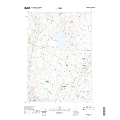
2021 Map of Caspian Lake
USGS Topo · Published 2021About this map
The Lamoille River winds through this northern Vermont landscape, anchoring the valley where Hardwick and East Hardwick developed. This contemporary survey shows a region defined by its glacial geography, from the deep waters of Caspian Lake to the elongated basins of Lake Elligo and Little Elligo Pond. The settlement pattern follows both the river and the higher ground, with small hamlets like Hardwick Street and Greensboro Bend punctuating the rural terrain.
Find a feature on this map
126 named features on this map. Tap any name to fly to it.
Don’t see what you’re looking for? This feature index may not catch every label — zoom into the map to look around manually.
Map Details
Editions of this 2021 Caspian Lake Map
This is the sole edition of this map. No revisions or reprints were ever made.
Other maps of this area

1928 · Hardwick
USGS Topo · 1:62,500

1934 · Hardwick
USGS Topo · 1:48,000

1935 · Lyndonville
USGS Topo · 1:48,000

1938 · Hardwick
USGS Topo · 1:62,500

1938 · St. Johnsbury
USGS Topo · 1:48,000

1939 · Lyndonville
USGS Topo · 1:62,500

1939 · Plainfield
USGS Topo · 1:48,000

1940 · Plainfield
USGS Topo · 1:62,500

1943 · Plainfield
USGS Topo · 1:62,500

1943 · St. Johnsbury
USGS Topo · 1:62,500