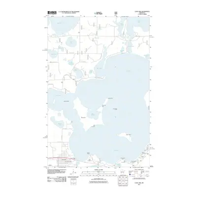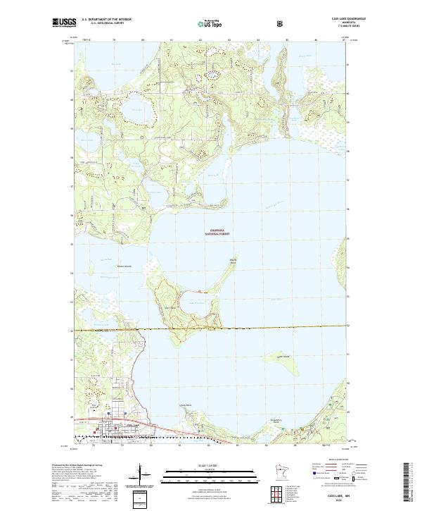
1996 Map of Cass Lake
USGS Topo · Published 1998About this map
The city of Cass Lake serves as the hub for this 1990s landscape, defined by the convergence of the Soo Line railroad and the vast waters of the Chippewa National Forest. The map captures a complex lacustrine environment where Star Island sits at the center of the lake, unique for containing its own smaller water body, Lake Windigo. Along the southern shores, recreational developments like Norway Beach and the Mi-Ge-Zi Bike Trail illustrate the area's transition toward a leisure and conservation economy within the Bowstring State Forest and Buena Vista State Forest.
Find a feature on this map
44 named features on this map. Tap any name to fly to it.
Don’t see what you’re looking for? This feature index may not catch every label — zoom into the map to look around manually.
Map Details
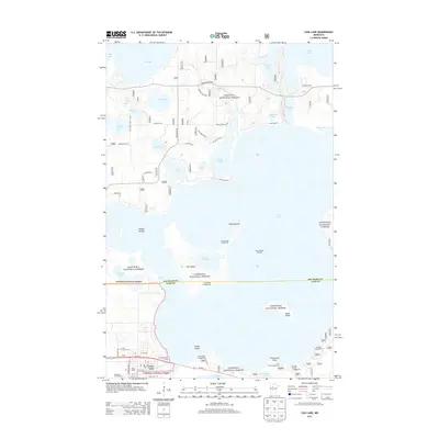
Editions of this 1996 Cass Lake Map
This is the sole edition of this map. No revisions or reprints were ever made.
Historical Maps of Cass Lake Through Time
8 maps found