
1971 Map of Gimmer Lake
USGS Topo · Published 1974About this map
Chippewa National Forest dominates this northern Minnesota landscape, where a dense network of water and timberland converges at the border of Beltrami and Itasca counties. This early 1970s orthophotomap, derived from 1969 aerial photography, reveals the intricate shoreline of Moose Lake and the northern reaches of Kitchi Lake. The presence of the Leech Lake Indian Reservation Boundary cutting through the center of the sheet indicates complex land management and historical divisions within the forest. Several smaller bodies of water like Gimmer Lake, Little Moose Lake, and Popple Lake are interspersed among managed timber tracts, including the Blackduck State Forest and Buena Vista State Forest. Human activity is noted through scattered resources such as a Gravel Pit and the Kitchi Ch, providing specific points of interest for local history researchers.
Find a feature on this map
20 named features on this map. Tap any name to fly to it.
Don’t see what you’re looking for? This feature index may not catch every label — zoom into the map to look around manually.
Map Details
Editions of this 1971 Gimmer Lake Map
This is the sole edition of this map. No revisions or reprints were ever made.
Other maps of this area

1919 · Rosy
USGS Topo · 1:62,500

1954 · Bemidji
USGS Topo · 1:250,000

1957 · Bemidji
USGS Topo · 1:250,000

1958 · Bemidji
USGS Topo · 1:250,000

1971 · Dixon Lake
USGS Topo · 1:24,000

1971 · Raven Lake
USGS Topo · 1:24,000

1971 · Decker Lake
USGS Topo · 1:24,000

1971 · Pennington
USGS Topo · 1:24,000
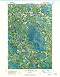
1971 · Alvwood
USGS Topo · 1:24,000
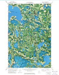
1972 · Blackduck
USGS Topo · 1:24,000