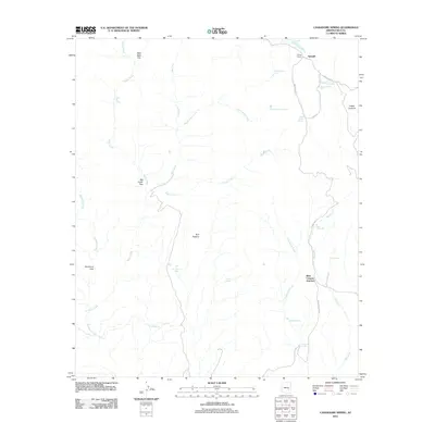
2011 Map of Cassadore Spring
USGS Topo · Published 2011About this map
Cassadore Spring and the surrounding high desert terrain define this corner of Gila County, where traditional land use and water management are mapped in detail. The presence of specialized enclosures like Geronimo Trap, Wild Beef Trap, and Big Cedar Trap suggests a landscape historically utilized for livestock management and ranching operations. To the northeast, the settlement of Sawmill sits near Hilltop Ranch, while the interior is marked by the expansive Bull Pasture. The drainage network is dense, featuring Cassadore Creek and Seven Mile Wash, alongside numerous improved water sources such as Rose Garden Tank and Oak Creek Tank. This 2011 survey captures the area at Bear Canyon Junction, documenting the transition of tribal routes like Indian Rte 10 and Indian Rte 4 through the rugged canyons and lookouts.
Find a feature on this map
33 named features on this map. Tap any name to fly to it.
Don’t see what you’re looking for? This feature index may not catch every label — zoom into the map to look around manually.
Map Details
Editions of this 2011 Cassadore Spring Map
This is the sole edition of this map. No revisions or reprints were ever made.
Other maps of this area

1922 · Chrysotile
USGS Topo · 1:125,000

1954 · Mesa
USGS Topo · 1:250,000

1957 · Mesa
USGS Topo · 1:250,000

1958 · Mesa
USGS Topo · 1:250,000

1960 · Mesa
USGS Topo · 1:250,000

1964 · Mesa
USGS Topo · 1:250,000

1965 · Sontag Mesa
USGS Topo · 1:24,000

1966 · Brushy Canyon
USGS Topo · 1:24,000

1966 · Natural Corral
USGS Topo · 1:24,000

1966 · Popcorn Canyon
USGS Topo · 1:24,000