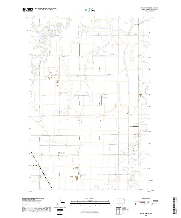
2024 Map of Casselton SE
USGS Topo · Published 2024About this map
The Maple River meanders through this portion of Cass County, creating a distinctive riparian corridor across the prairie landscape. The area is defined by its precise agricultural grid, where section lines like 160th Ave SE and 40th St SE partition the fertile Red River Valley plains. This 2024 survey captures the persistence of early rural institutions, most notably the Addison Evangelical Congregational Cem situated along Co Rd 6. This burial ground serves as a significant marker of the local community's ancestral roots in a region otherwise dominated by open farmland. Aviation footprints are visible through private facilities such as Kraft Airport and True North Airpark, while smaller watercourses like Swan Creek feed into the primary river system in the northwest corner.
Find a feature on this map
26 named features on this map. Tap any name to fly to it.
Don’t see what you’re looking for? This feature index may not catch every label — zoom into the map to look around manually.
Map Details
Editions of this 2024 Casselton SE Map
This is the sole edition of this map. No revisions or reprints were ever made.
Other maps of this area

1895 · Fargo
USGS Topo · 1:125,000

1895 · Casselton
USGS Topo · 1:125,000

1897 · Fargo
USGS Topo · 1:125,000

1897 · Casselton
USGS Topo · 1:125,000

1953 · Fargo
USGS Topo · 1:250,000

1956 · Fargo
USGS Topo · 1:250,000

1959 · Kindred
USGS Topo · 1:24,000

1959 · Leonard
USGS Topo · 1:24,000

1959 · South West Fargo
USGS Topo · 1:24,000

1959 · West Fargo
USGS Topo · 1:24,000