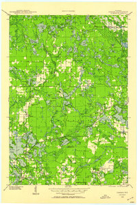
1939 Map of Cassian
USGS Topo · Published 1958About this map
American Legion State Forest dominates the northern reaches of this Oneida County landscape, where glacial kettle lakes and wetlands define the terrain. The late 1930s rail network remains vital here, with the Chicago and Northwestern Ry and Soo Line intersecting at key nodes like Heafford Junction and serving rural outposts such as Cassian (Deer Trail Sta). This survey captures a transition in local infrastructure, showing the State Prison Farm near McNaughton and a dense network of one-room schoolhouses, including Fernwood Sch and Lily Lake Sch, which anchored these remote logging and farming communities. The presence of the Porcupine Fire Tower and numerous named spurs like McKays Spur speaks to the region's forestry roots and the constant vigilance required in the Northwoods timberlands.
Find a feature on this map
152 named features on this map. Tap any name to fly to it.
Don’t see what you’re looking for? This feature index may not catch every label — zoom into the map to look around manually.
Map Details
Editions of this 1939 Cassian Map
4 editions found
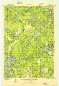
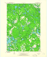
Other maps of this area

1930 · Robbins
USGS Topo · 1:48,000

1938 · Minocqua
USGS Topo · 1:48,000

1938 · Robbins
USGS Topo · 1:48,000

1938 · Lac Du Flambeau
USGS Topo · 1:48,000

1939 · Lac Du Flambeau
USGS Topo · 1:48,000

1939 · Mc Cord
USGS Topo · 1:48,000

1939 · Cassian
USGS Topo · 1:48,000

1940 · Parrish
USGS Topo · 1:48,000

1940 · Rhinelander
USGS Topo · 1:48,000

1942 · Cassian
USGS Topo · 1:48,000