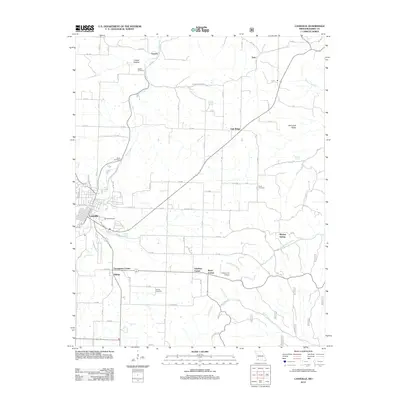
2012 Map of Cassville
USGS Topo · Published 2012About this map
Cassville sits as the central hub of this Missouri landscape, where the waters of Flat Creek and Roaring River carve through the regional terrain. The map reveals a dense network of forest roads and rural intersections such as Thompsons Corner and Smalleys Corner, reflecting the local transition between town life and the surrounding timberlands. Notable for family history researchers, the sheet identifies several remote burial grounds, including the Quaker Cemetery, Pilant Cemetery, and Ennis Cemetery, which are scattered among the ridges and hollows like Corder Hollow. The presence of Timber Line Airpark near Rockhouse Creek and the notable Sink Hole Ridge highlighting the area's karst topography further define the character of this Ozark borderland. This record is particularly useful for identifying named springs like Crystal Springs and Brock Spring that historically sustained these rural communities.
Find a feature on this map
66 named features on this map. Tap any name to fly to it.
Don’t see what you’re looking for? This feature index may not catch every label — zoom into the map to look around manually.
Map Details
Editions of this 2012 Cassville Map
This is the sole edition of this map. No revisions or reprints were ever made.
Other maps of this area

1927 · Shell Knob
USGS Topo · 1:62,500

1937 · Cassville
USGS Topo · 1:48,000

1942 · Aurora
USGS Topo · 1:62,500

1943 · Monett
USGS Topo · 1:62,500

1944 · Cassville
USGS Topo · 1:62,500

1945 · Harrison
USGS Topo · 1:250,000

1945 · Aurora
USGS Topo · 1:62,500

1949 · Harrison
USGS Topo · 1:250,000

1950 · Shell Knob
USGS Topo · 1:62,500

1954 · Harrison
USGS Topo · 1:250,000