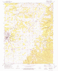
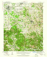
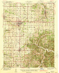
1974 Map of Cassville
USGS Topo · Published 1977About this map
Cassville serves as the focal point of this mid-1970s survey, situated where the terrain begins to ripple into the deep hollows of the Ozarks. The landscape is defined by the winding course of Flat Creek and a network of valleys including Corder Hollow and Rockhouse Hollow. To the east, the Mark Twain National Forest boundary marks a shift toward more heavily timbered ridges.
Find a feature on this map
43 named features on this map. Tap any name to fly to it.
Don’t see what you’re looking for? This feature index may not catch every label — zoom into the map to look around manually.
Map Details
Editions of this 1974 Cassville Map
This is the sole edition of this map. No revisions or reprints were ever made.
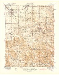
Other maps of this area
1927 · Shell Knob
USGS Topo · 1:62,500
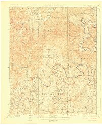
1937 · Cassville
USGS Topo · 1:48,000
1942 · Aurora
USGS Topo · 1:62,500
1943 · Monett
USGS Topo · 1:62,500
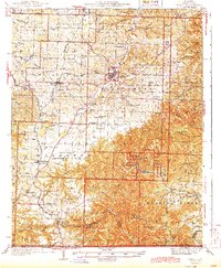
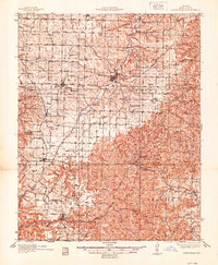
1944 · Cassville
USGS Topo · 1:62,500

1945 · Harrison
USGS Topo · 1:250,000
1945 · Aurora
USGS Topo · 1:62,500

1949 · Harrison
USGS Topo · 1:250,000
1950 · Shell Knob
USGS Topo · 1:62,500

1954 · Harrison
USGS Topo · 1:250,000