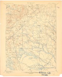
1900 Map of Cassville
USGS Topo · Published 1906About this map
Lahaway Plantations and the extensive milling operations along the winding tributaries of the Manalapan Brook and Metedeconk River define this rural landscape at the turn of the century. The map illustrates a dense network of local settlements and industries, from the cluster of Oakland Mills and Blacks Mills in the north to the southern rail corridor of the Central Railroad of New Jersey.
Find a feature on this map
89 named features on this map. Tap any name to fly to it.
Don’t see what you’re looking for? This feature index may not catch every label — zoom into the map to look around manually.
Map Details
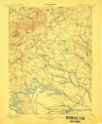
Editions of this 1900 Cassville Map
3 editions found

Other maps of this area

1884 · Whitings
USGS Topo · 1:62,500

1888 · Bordentown
USGS Topo · 1:62,500

1888 · Pemberton
USGS Topo · 1:62,500

1888 · Barnegat
USGS Topo · 1:62,500

1888 · New Brunswick
USGS Topo · 1:62,500

1888 · Princeton
USGS Topo · 1:62,500

1888 · Asbury Park
USGS Topo · 1:62,500

1888 · Cassville
USGS Topo · 1:62,500

1888 · Sandy Hook
USGS Topo · 1:62,500

1888 · Whitings
USGS Topo · 1:62,500