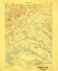
1900 Map of Cassville
USGS Topo · Published 1912About this map
The Pine Barrens of Central Jersey are meticulously documented in this survey, showcasing a landscape defined by milling operations and early agricultural estates. Lahaway Plantations stands as a prominent feature in the north, while the drainage networks of the Millstone River and Manalapan Brook dictate the placement of early settlements. A heavy concentration of industry is visible along the waterways, where Jacksons Mills, Bennett Mills, and Francis Mills utilized the local hydraulic power.
Find a feature on this map
77 named features on this map. Tap any name to fly to it.
Don’t see what you’re looking for? This feature index may not catch every label — zoom into the map to look around manually.
Map Details
Editions of this 1900 Cassville Map
3 editions found

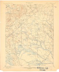
Other maps of this area

1884 · Whitings
USGS Topo · 1:62,500

1888 · Bordentown
USGS Topo · 1:62,500

1888 · Pemberton
USGS Topo · 1:62,500

1888 · Barnegat
USGS Topo · 1:62,500

1888 · New Brunswick
USGS Topo · 1:62,500

1888 · Princeton
USGS Topo · 1:62,500

1888 · Asbury Park
USGS Topo · 1:62,500

1888 · Cassville
USGS Topo · 1:62,500

1888 · Sandy Hook
USGS Topo · 1:62,500

1888 · Whitings
USGS Topo · 1:62,500