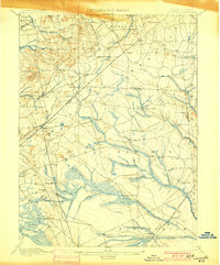
1900 Map of Cassville
USGS Topo · Published 1900About this map
The Millstone River and Manasquan River headwaters define this late-nineteenth-century landscape, where the Monmouth and Ocean County lines intersect. The area is characterized by a dense network of early mills, including Blacks Mills, Oakland Mills, and Jacksons Mills, highlighting the water-driven industry of the era. Settlement patterns follow these drainages, with small crossroads like Carrs Tavern, Smithburg, and Cassville serving the surrounding agricultural and timber lands.
Find a feature on this map
75 named features on this map. Tap any name to fly to it.
Don’t see what you’re looking for? This feature index may not catch every label — zoom into the map to look around manually.
Map Details
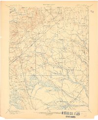
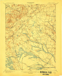
Editions of this 1900 Cassville Map
3 editions found
Other maps of this area
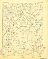
1884 · Whitings
USGS Topo · 1:62,500

1888 · Bordentown
USGS Topo · 1:62,500
1888 · Pemberton
USGS Topo · 1:62,500
1888 · Barnegat
USGS Topo · 1:62,500

1888 · New Brunswick
USGS Topo · 1:62,500

1888 · Princeton
USGS Topo · 1:62,500
1888 · Asbury Park
USGS Topo · 1:62,500

1888 · Cassville
USGS Topo · 1:62,500

1888 · Sandy Hook
USGS Topo · 1:62,500
1888 · Whitings
USGS Topo · 1:62,500