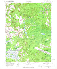
1957 Map of Cassville
USGS Topo · Published 1966About this map
Cassville and the surrounding Pine Barrens landscape appear in this mid-century survey, characterized by extensive Cranberry Bogs and the heavy footprint of state and military lands. The map details the transition from rural settlements to large-scale federal and state management areas, including the northern edges of the Fort Dix Military Reservation and the Lakehurst Naval Air Station. Cultural landmarks like Saint Vladimirs and the Rova Farms Sch highlight the unique local community history in Jackson and Plumsted.
Find a feature on this map
36 named features on this map. Tap any name to fly to it.
Don’t see what you’re looking for? This feature index may not catch every label — zoom into the map to look around manually.
Map Details
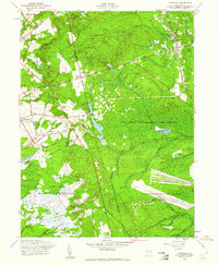
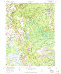
Editions of this 1957 Cassville Map
3 editions found
Other maps of this area

1884 · Whitings
USGS Topo · 1:62,500

1888 · Bordentown
USGS Topo · 1:62,500

1888 · Pemberton
USGS Topo · 1:62,500

1888 · Cassville
USGS Topo · 1:62,500

1888 · Whitings
USGS Topo · 1:62,500

1893 · Bordentown
USGS Topo · 1:62,500

1894 · Cassville
USGS Topo · 1:62,500

1894 · Pemberton
USGS Topo · 1:62,500

1898 · Pemberton
USGS Topo · 1:62,500

1900 · Cassville
USGS Topo · 1:62,500
Featured Places
- Jackson Township, NJ
- Manchester Township, NJ
- Plumsted Township, NJ
- Upper Freehold Township, NJ
- Colliers Mills, Jackson Township