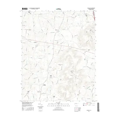
2016 Map of Cassville
USGS Topo · Published 2016About this map
Fanchers Mills and the high elevations of Gum Spring Mtn High Knob define this portion of White County, where small agricultural communities are linked by historic roadways like the Old Smithville Hwy S and Roberts Matthews Hwy. The landscape is characterized by its numerous coves and hollows, including Walker Cove, Carrick Cove, and Cane Hollow, which have dictated the placement of long-standing family settlements and local landmarks.
Find a feature on this map
151 named features on this map. Tap any name to fly to it.
Don’t see what you’re looking for? This feature index may not catch every label — zoom into the map to look around manually.
Map Details
Editions of this 2016 Cassville Map
This is the sole edition of this map. No revisions or reprints were ever made.
Other maps of this area

1892 · Pikeville
USGS Topo · 1:125,000

1893 · Mc Minnville
USGS Topo · 1:125,000

1895 · Mc Minnville
USGS Topo · 1:125,000

1895 · Pikeville
USGS Topo · 1:125,000

1897 · Standingstone
USGS Topo · 1:125,000

1898 · Standingstone
USGS Topo · 1:125,000

1943 · Cookeville
USGS Topo · 1:100,000

1944 · Cookeville
USGS Topo · 1:100,000

1953 · Chattanooga
USGS Topo · 1:250,000

1954 · Sparta
USGS Topo · 1:24,000