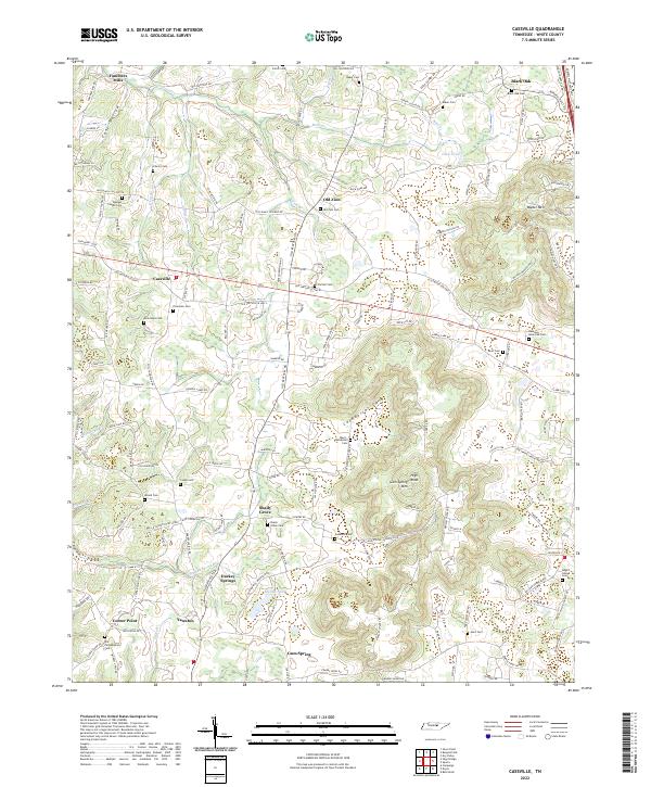
2022 Map of Cassville
USGS Topo · Published 2022About this map
Cassville and the surrounding White County uplands are defined by a high density of rural burial grounds and small community hubs. The landscape transitions from the agricultural settlements of Fanchers Mills and Old Zion in the north to the more varied terrain of Cashdollar Cove and Carrick Cove further south. Genealogists will find a wealth of family-named sites, such as the Ward-Cashdollar Cem, Baker Cem, and Cooke Cem, reflecting the deep ancestral roots of this region.
Find a feature on this map
154 named features on this map. Tap any name to fly to it.
Don’t see what you’re looking for? This feature index may not catch every label — zoom into the map to look around manually.
Map Details
Editions of this 2022 Cassville Map
This is the sole edition of this map. No revisions or reprints were ever made.
Other maps of this area

1892 · Pikeville
USGS Topo · 1:125,000

1893 · Mc Minnville
USGS Topo · 1:125,000

1895 · Mc Minnville
USGS Topo · 1:125,000

1895 · Pikeville
USGS Topo · 1:125,000

1897 · Standingstone
USGS Topo · 1:125,000

1898 · Standingstone
USGS Topo · 1:125,000

1943 · Cookeville
USGS Topo · 1:100,000

1944 · Cookeville
USGS Topo · 1:100,000

1953 · Chattanooga
USGS Topo · 1:250,000

1954 · Sparta
USGS Topo · 1:24,000