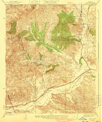
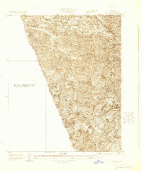
1940 Map of Castaic
USGS Topo · Published 1940About this map
Castaic and its surrounding canyons are captured here during a period of transition as the Ridge Route (US 99) and Ca 126 began to modernize regional travel. The landscape is defined by the sharp contrast between the active agriculture at Wayside Farm No 1 and Wayside Farm No 2 and the steep, undeveloped slopes of the Angeles National Forest and Temascal region. Small family and community nodes like Valverde Lodge, San Martinez, and Liveoak appear along the canyon floors, indicating the early residential footprint of this portion of northern Los Angeles County.
Find a feature on this map
42 named features on this map. Tap any name to fly to it.
Don’t see what you’re looking for? This feature index may not catch every label — zoom into the map to look around manually.
Map Details
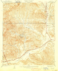
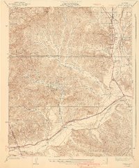
Editions of this 1940 Castaic Map
3 editions found
Other maps of this area

1903 · Tejon
USGS Topo · 1:125,000

1903 · Camulos
USGS Topo · 1:125,000

1903 · Santa Susana
USGS Topo · 1:62,500
1929 · Newhall
USGS Topo · 1:24,000

1929 · Saugus
USGS Topo · 1:24,000
1929 · Pico
USGS Topo · 1:24,000

1931 · Red Mountain
USGS Topo · 1:24,000

1931 · Whitaker Peak
USGS Topo · 1:24,000

1931 · Santa Felicia Canyon
USGS Topo · 1:24,000

1931 · Castaic
USGS Topo · 1:24,000