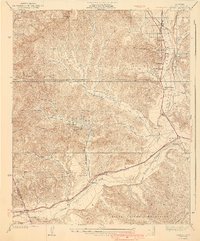
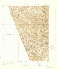
1940 Map of Castaic
USGS Topo · Published 1940About this map
Castaic and its surrounding canyons serve as a vital transportation corridor in the early 1940s, anchored by the Ridge Route and the Southern Pacific railroad. The landscape is defined by the broad Santa Clara River valley and a network of deep-cut drainages like San Martinez Grande Canyon and Charlie Canyon. Small rural clusters and institutional outposts dot the hills, including the Wayside Farm No 1 and Wayside Farm No 2, while Valverde Park and Valverde Lodge represent localized recreational development. Information gain from this era includes the presence of the Airway Beacon near Foothill Sta, highlighting the importance of this terrain for early aviation navigation. Local education is anchored at Liveoak Sch and San Martinez Sch, serving families in the ranching and canyon areas before the massive suburban expansion of the later twentieth century.
Find a feature on this map
39 named features on this map. Tap any name to fly to it.
Don’t see what you’re looking for? This feature index may not catch every label — zoom into the map to look around manually.
Map Details
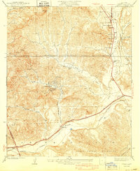
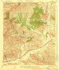
Editions of this 1940 Castaic Map
3 editions found
Other maps of this area

1903 · Tejon
USGS Topo · 1:125,000

1903 · Camulos
USGS Topo · 1:125,000

1903 · Santa Susana
USGS Topo · 1:62,500
1929 · Newhall
USGS Topo · 1:24,000

1929 · Saugus
USGS Topo · 1:24,000
1929 · Pico
USGS Topo · 1:24,000

1931 · Red Mountain
USGS Topo · 1:24,000

1931 · Whitaker Peak
USGS Topo · 1:24,000

1931 · Santa Felicia Canyon
USGS Topo · 1:24,000

1931 · Castaic
USGS Topo · 1:24,000