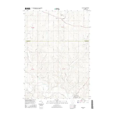
2015 Map of Castalia
USGS Topo · Published 2015About this map
The Turkey River winds through the southern reaches of this Northeast Iowa landscape, where the town of Clermont is established along its banks. To the north, the smaller settlement of Castalia sits at the junction of several county roads, serving as a hub for the surrounding agricultural plateau. This 2015 survey illustrates a rural landscape defined by a dense network of creek valleys, including Quinn Cr, Fitzgerald Cr, and Nutting Cr, which have carved intricate topography into the Fayette and Winneshiek county borderlands. Family and community history is preserved in several rural burial grounds such as Bloomfield Cem and Pleasant View Cem near Castalia, as well as Nutting Cem and Saint Peters Cem further south. The map documents the enduring section-line road grid that connects these isolated homesteads and cemeteries to the river-oriented life in the valley below.
Find a feature on this map
63 named features on this map. Tap any name to fly to it.
Don’t see what you’re looking for? This feature index may not catch every label — zoom into the map to look around manually.
Map Details
Editions of this 2015 Castalia Map
This is the sole edition of this map. No revisions or reprints were ever made.
Other maps of this area

1901 · Oelwein
USGS Topo · 1:125,000

1906 · Decorah
USGS Topo · 1:125,000

1958 · La Crosse
USGS Topo · 1:250,000

1959 · Dubuque
USGS Topo · 1:250,000

1961 · Dubuque
USGS Topo · 1:250,000

1961 · La Crosse
USGS Topo · 1:250,000

1962 · Dubuque
USGS Topo · 1:250,000

1965 · La Crosse
USGS Topo · 1:250,000

1965 · Elgin
USGS Topo · 1:24,000
1965 · Gunder
USGS Topo · 1:24,000