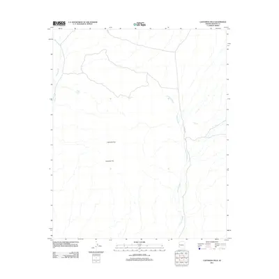
2011 Map of Castaneda Hills
USGS Topo · Published 2011About this map
Castaneda Peak rises from the arid landscape of southern Mohave County, serving as a primary landmark in a region defined by complex drainage networks and volcanic topography. This 2011 survey highlights the seasonal water systems of the Castaneda Hills, where the significant Castaneda Wash and Mohave Wash carve their paths through the desert floor. The distribution of livestock or wildlife water sources is a key feature of this quadrant, with several man-made catchments including Buckhorn Tank, Desert Tank, and Four Hundred Tank scattered across the terrain. Human infrastructure is sparse, represented primarily by the route of Co HWY 133, which provides the only major thoroughfare through this remote reach of the Arizona desert.
Find a feature on this map
9 named features on this map. Tap any name to fly to it.
Don’t see what you’re looking for? This feature index may not catch every label — zoom into the map to look around manually.
Map Details
Editions of this 2011 Castaneda Hills Map
This is the sole edition of this map. No revisions or reprints were ever made.
Other maps of this area

1911 · Parker
USGS Topo · 1:125,000

1923 · Signal
USGS Topo · 1:250,000

1927 · Buck Mountains
USGS Topo · 1:62,500

1929 · Buck Mountains
USGS Topo · 1:62,500

1942 · Signal
USGS Topo · 1:250,000

1943 · Giers Basin
USGS Topo · 1:62,500

1950 · Prescott
USGS Topo · 1:250,000

1954 · Needles
USGS Topo · 1:250,000

1954 · Prescott
USGS Topo · 1:250,000

1956 · Needles
USGS Topo · 1:250,000