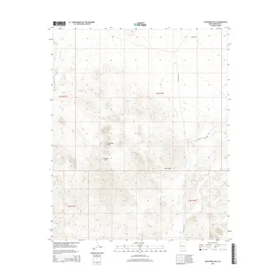
2014 Map of Castaneda Hills
USGS Topo · Published 2014About this map
Castaneda Peak serves as the central landmark of this arid landscape, rising above the surrounding Castaneda Hills within the eastern stretches of the Mojave Desert. The topography is defined by intricate drainage networks, notably Mohave Wash along the western edge and the extensive Castaneda Wash system that snakes through the center and east. These washes emphasize the hydraulic character of the region, where water management is crucial for the few available resources.
Find a feature on this map
15 named features on this map. Tap any name to fly to it.
Don’t see what you’re looking for? This feature index may not catch every label — zoom into the map to look around manually.
Map Details
Editions of this 2014 Castaneda Hills Map
This is the sole edition of this map. No revisions or reprints were ever made.
Other maps of this area

1911 · Parker
USGS Topo · 1:125,000

1923 · Signal
USGS Topo · 1:250,000

1927 · Buck Mountains
USGS Topo · 1:62,500

1929 · Buck Mountains
USGS Topo · 1:62,500

1942 · Signal
USGS Topo · 1:250,000

1943 · Giers Basin
USGS Topo · 1:62,500

1950 · Prescott
USGS Topo · 1:250,000

1954 · Needles
USGS Topo · 1:250,000

1954 · Prescott
USGS Topo · 1:250,000

1956 · Needles
USGS Topo · 1:250,000