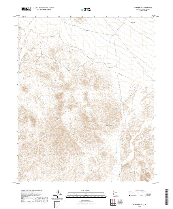
2021 Map of Castaneda Hills
USGS Topo · Published 2021About this map
Castaneda Hills define this arid landscape within the Mojave Desert of Mohave County. The terrain is shaped by the prominent Castaneda Peak and the drainage patterns of Mohave Wash and Castaneda Wash. This area represents a classic desert basin-and-range environment where water management is critical for any land use, evidenced by the presence of several named water collection points such as Four Hundred Tank, Buckhorn Tank, and Eaton Tank. To the north, the topography softens into the expanse of Dutch Flat. Transport through this section of the desert is facilitated by Co HWY 133, which provides the primary access route across the rugged township and range divisions. The map provides a detailed view of the natural hydrology and elevation changes that have historically dictated movement and survival in this part of Arizona.
Find a feature on this map
15 named features on this map. Tap any name to fly to it.
Don’t see what you’re looking for? This feature index may not catch every label — zoom into the map to look around manually.
Map Details
Editions of this 2021 Castaneda Hills Map
This is the sole edition of this map. No revisions or reprints were ever made.
Other maps of this area

1911 · Parker
USGS Topo · 1:125,000

1923 · Signal
USGS Topo · 1:250,000

1927 · Buck Mountains
USGS Topo · 1:62,500

1929 · Buck Mountains
USGS Topo · 1:62,500

1942 · Signal
USGS Topo · 1:250,000

1943 · Giers Basin
USGS Topo · 1:62,500

1950 · Prescott
USGS Topo · 1:250,000

1954 · Needles
USGS Topo · 1:250,000

1954 · Prescott
USGS Topo · 1:250,000

1956 · Needles
USGS Topo · 1:250,000