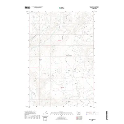
2020 Map of Castile Falls
USGS Topo · Published 2020About this map
Castile Falls marks a significant drop along the Klickitat River in this high-altitude portion of Yakima County. The landscape is defined by massive uplifted landforms, including the Lost Horse Plateau and Lincoln Plateau, which are separated by a complex network of canyons and drainage systems. Surveyors and foresters have long utilized the elevation for fire monitoring, as evidenced by the Panther Creek Lookout situated near Panther Butte.
Find a feature on this map
35 named features on this map. Tap any name to fly to it.
Don’t see what you’re looking for? This feature index may not catch every label — zoom into the map to look around manually.
Map Details
Editions of this 2020 Castile Falls Map
This is the sole edition of this map. No revisions or reprints were ever made.
Other maps of this area

1904 · Mount Adams
USGS Topo · 1:125,000

1907 · Mount Adams
USGS Topo · 1:125,000

1950 · Yakima
USGS Topo · 1:250,000

1958 · Yakima
USGS Topo · 1:250,000

1961 · Yakima
USGS Topo · 1:250,000
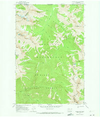
1969 · Castile Falls
USGS Topo · 1:24,000
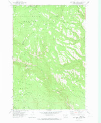
1970 · Lost Horse Plateau
USGS Topo · 1:24,000
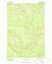
1970 · Fairview Ridge
USGS Topo · 1:24,000
1970 · Signal Peak
USGS Topo · 1:24,000
1970 · Castile Falls
USGS Topo · 1:24,000