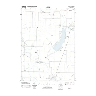
2010 Map of Castile
USGS Topo · Published 2010About this map
Silver Lake defines the eastern landscape of this Wyoming County quadrangle, serving as a focal point for the surrounding settlements of Perry and Fairview. The region is characterized by a high density of rural burial grounds, including the historic Prospect Hill Cemetery and the Silver Springs Pioneer Cemetery, which offer significant value for genealogical research. Settlement patterns follow the winding paths of Oatka Creek and Wolf Creek, with smaller hubs at Silver Springs and Castile connected by a network of local roads like Oatka Rd and Weaver Rd.
Find a feature on this map
80 named features on this map. Tap any name to fly to it.
Don’t see what you’re looking for? This feature index may not catch every label — zoom into the map to look around manually.
Map Details
Editions of this 2010 Castile Map
This is the sole edition of this map. No revisions or reprints were ever made.
Other maps of this area

1904 · Batavia
USGS Topo · 1:62,500

1904 · Caledonia
USGS Topo · 1:62,500

1905 · Portage
USGS Topo · 1:62,500

1905 · Nunda
USGS Topo · 1:62,500

1943 · Mount Morris
USGS Topo · 1:24,000

1943 · Warsaw
USGS Topo · 1:24,000

1943 · Nunda
USGS Topo · 1:24,000

1943 · Castile
USGS Topo · 1:24,000

1943 · Portageville
USGS Topo · 1:24,000

1943 · Pike
USGS Topo · 1:24,000