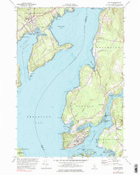
1973 Map of Castine
USGS Topo · Published 1984About this map
Castine occupies a strategic peninsula at the confluence of the Penobscot River and the Bagaduce River, a landscape defined by maritime heritage and historical military fortification. The town's layout in the early 1970s shows a dense concentration of institutions, including the Maritime Academy, Adams Sch, and the remains of Ft George. Across the water, the Bangor and Aroostook railroad line terminates near the shores of Stockton Harbor, highlighting the region's historical role as a coastal transportation hub.
Find a feature on this map
75 named features on this map. Tap any name to fly to it.
Don’t see what you’re looking for? This feature index may not catch every label — zoom into the map to look around manually.
Map Details
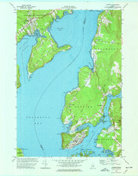
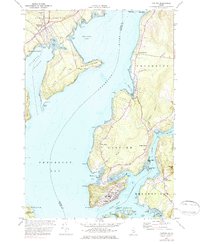
Editions of this 1973 Castine Map
3 editions found
Other maps of this area

1900 · Orland
USGS Topo · 1:62,500

1900 · Bucksport
USGS Topo · 1:62,500

1902 · Bucksport
USGS Topo · 1:62,500

1902 · Castine
USGS Topo · 1:62,500

1904 · Castine
USGS Topo · 1:62,500

1904 · Bluehill
USGS Topo · 1:62,500

1905 · Penobscot Bay
USGS Topo · 1:125,000

1941 · Castine
USGS Topo · 1:62,500

1942 · Orland
USGS Topo · 1:62,500

1942 · Bucksport
USGS Topo · 1:62,500