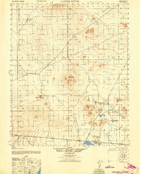
1947 Map of Castle Butte
USGS Topo · Published 1947About this map
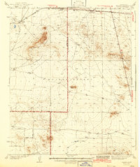
Rand Mountains dominate the northern skyline of this mid-century topographic study, which captures the industrial and agricultural fringes of the Mojave Desert. The landscape is defined by the extraction of natural resources and isolated ranching outposts, most notably the Muroc Clay Co and mining operations at Number 3 and Number 4. These sites, along with the Desert Butte mine, illustrate the region's mid-century reliance on mineral wealth and clay processing.
Find a feature on this map
11 named features on this map. Tap any name to fly to it.
Don’t see what you’re looking for? This feature index may not catch every label — zoom into the map to look around manually.
Map Details
Editions of this 1947 Castle Butte Map
This is the sole edition of this map. No revisions or reprints were ever made.
Other maps of this area

1903 · Randsburg
USGS Topo · 1:62,500
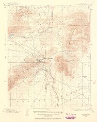
1911 · Randsburg
USGS Topo · 1:62,500
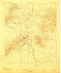
1912 · Randsburg
USGS Topo · 1:62,500

1915 · Elizabeth Lake
USGS Topo · 1:125,000

1915 · Searles Lake
USGS Topo · 1:250,000

1915 · Mojave
USGS Topo · 1:125,000

1917 · Elizabeth Lake
USGS Topo · 1:125,000

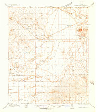
1937 · Kramer
USGS Topo · 1:48,000
1937 · Rogers Lake
USGS Topo · 1:48,000
1942 · Kramer
USGS Topo · 1:62,500