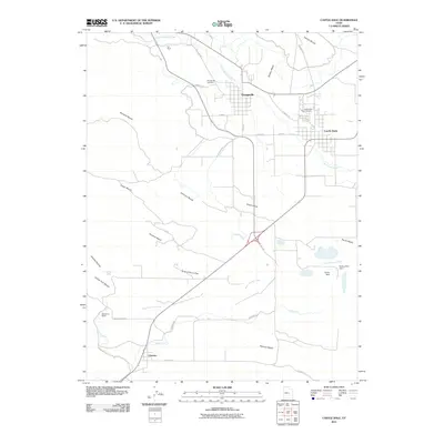
2011 Map of Castle Dale
USGS Topo · Published 2011About this map
Orangeville and Castle Dale serve as the primary hubs in this corner of Emery County, where the grid-iron street patterns of the towns give way to a complex network of agricultural and industrial water management. The lifeblood of the valley is captured in the engineered routes of the Clipper Canal, Dooley Ditch, and North Ditch, which redirect water from Cottonwood Creek and Rock Canyon Creek to the surrounding benches.
Find a feature on this map
39 named features on this map. Tap any name to fly to it.
Don’t see what you’re looking for? This feature index may not catch every label — zoom into the map to look around manually.
Map Details
Editions of this 2011 Castle Dale Map
This is the sole edition of this map. No revisions or reprints were ever made.
Other maps of this area

1885 · Manti
USGS Topo · 1:250,000

1886 · Price River
USGS Topo · 1:250,000

1895 · Manti
USGS Topo · 1:250,000

1896 · Price River
USGS Topo · 1:250,000

1923 · Castle Dale
USGS Topo · 1:62,500

1923 · Hiawatha
USGS Topo · 1:62,500

1925 · Castle Dale
USGS Topo · 1:62,500

1925 · Hiawatha
USGS Topo · 1:62,500

1956 · Price
USGS Topo · 1:250,000

1960 · Price
USGS Topo · 1:250,000