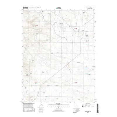
2017 Map of Castle Dale
USGS Topo · Published 2017About this map
Orangeville and Castle Dale serve as the primary hubs in this agricultural and industrial landscape along the banks of Cottonwood Cr. The map highlights a complex water management system essential for the region, featuring the Clipper Canal, Dooley Ditch, and N Ditch. This infrastructure supports both local farming and significant industrial activity, evidenced by the Hunter Plant Byp and the Utah Power and Light Ash Reservoir.
Find a feature on this map
102 named features on this map. Tap any name to fly to it.
Don’t see what you’re looking for? This feature index may not catch every label — zoom into the map to look around manually.
Map Details
Editions of this 2017 Castle Dale Map
This is the sole edition of this map. No revisions or reprints were ever made.
Other maps of this area

1885 · Manti
USGS Topo · 1:250,000

1886 · Price River
USGS Topo · 1:250,000

1895 · Manti
USGS Topo · 1:250,000

1896 · Price River
USGS Topo · 1:250,000

1923 · Castle Dale
USGS Topo · 1:62,500

1923 · Hiawatha
USGS Topo · 1:62,500

1925 · Castle Dale
USGS Topo · 1:62,500

1925 · Hiawatha
USGS Topo · 1:62,500

1956 · Price
USGS Topo · 1:250,000

1960 · Price
USGS Topo · 1:250,000