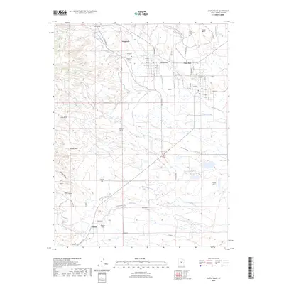
2023 Map of Castle Dale
USGS Topo · Published 2023About this map
Castle Dale and its surrounding high-desert landscape are defined by a complex network of man-made irrigation infrastructure and natural drainage systems. The town serves as a central hub, evidenced by the Emery County Court House and a grid of residential streets like E Main St and S Main St. To the northwest, Orangeville sits near the foot of Buzzard Bench, while Clawson is situated to the south. This area of Castle Valley relies heavily on water management, with features such as the Clipper Canal, Mammoth Canal, and Blue Cut Ditch diverting water from Cottonwood Creek to support local agriculture. The topography is marked by several large plateaus and washes, including Cedar Bench, Johnson Bench, and Paulson Wash, illustrating the geologic character of Emery County.
Find a feature on this map
67 named features on this map. Tap any name to fly to it.
Don’t see what you’re looking for? This feature index may not catch every label — zoom into the map to look around manually.
Map Details
Editions of this 2023 Castle Dale Map
This is the sole edition of this map. No revisions or reprints were ever made.
Other maps of this area

1885 · Manti
USGS Topo · 1:250,000

1886 · Price River
USGS Topo · 1:250,000

1895 · Manti
USGS Topo · 1:250,000

1896 · Price River
USGS Topo · 1:250,000

1923 · Castle Dale
USGS Topo · 1:62,500

1923 · Hiawatha
USGS Topo · 1:62,500

1925 · Castle Dale
USGS Topo · 1:62,500

1925 · Hiawatha
USGS Topo · 1:62,500

1956 · Price
USGS Topo · 1:250,000

1960 · Price
USGS Topo · 1:250,000